


Survey Data
Reg No
50020181
Rating
Regional
Categories of Special Interest
Architectural, Artistic, Social
Original Use
House
In Use As
Shop/retail outlet
Date
1730 - 1770
Coordinates
315759, 234130
Date Recorded
10/03/2015
Date Updated
--/--/--
Description
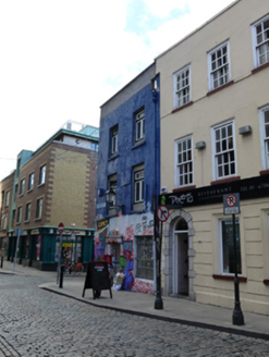
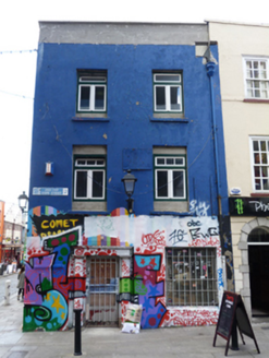
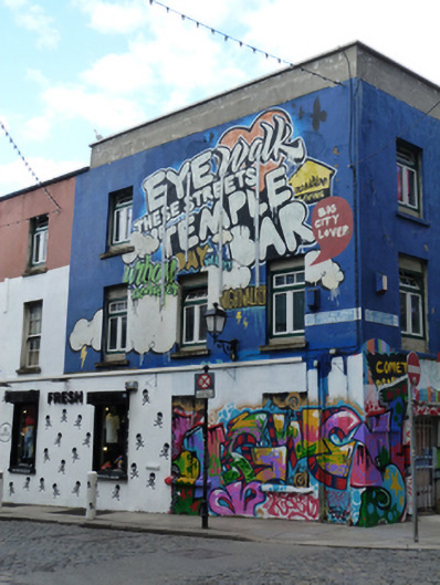
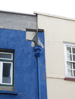
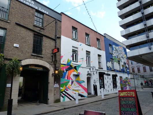
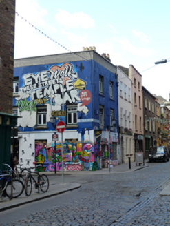
Corner-sited attached two-bay three-storey former house, built c.1750, with three-bay elevation to west. Ground floor now used as shop, upper floors disused. Flat roof hidden behind rebuilt rendered parapet having render coping, and cast-iron rainwater goods. Smooth rendered walls. Square-headed window openings with masonry sills and timber casement windows, those to ground floor having steel shutters. Square-headed door opening with masonry doorcase comprising Tuscan columns supporting masonry entablature and stepped panel, having replacement door with security bars. Situated to centre of Cope Street, at junction with Crown Alley.
Appraisal
This building, along with the those adjoining it to the east, is among some of the oldest remaining buildings in Temple Bar and appears on John Rocque’s 1756 map of Dublin. Though altered and its roof removed, the central chimneystack indicates an early date. It retains an elaborate early nineteenth-century doorcase complete with Tuscan columns and entablature, contributing artistic interest to the composition. It is recorded as a house and small yard in Griffith’s Primary Valuation and as an office in the 1901 and 1911 Census. The scale and proportions of this house is in keeping with the small collection of eighteenth-century buildings in Temple Bar which chart the early architectural development and history of the area.