


Survey Data
Reg No
40815007
Categories of Special Interest
Architectural
Original Use
Walled garden
Date
1710 - 1730
Coordinates
234292, 432549
Date Recorded
11/09/2008
Date Updated
--/--/--
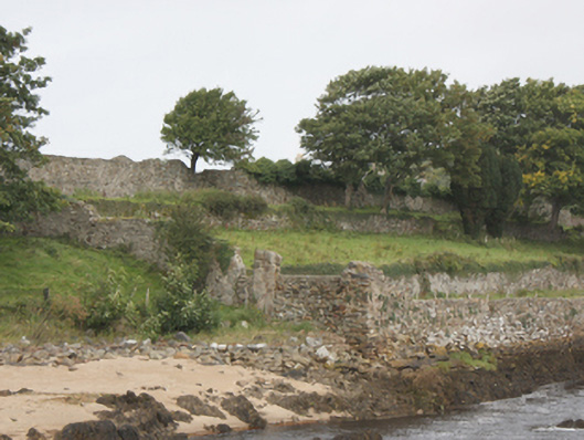
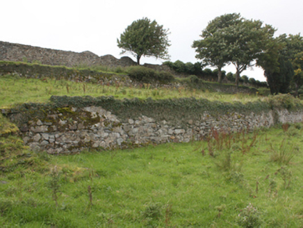
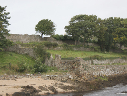
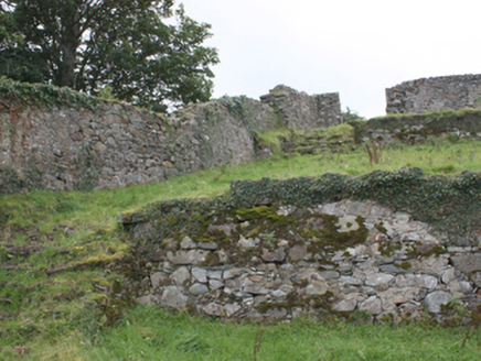
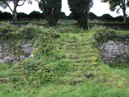
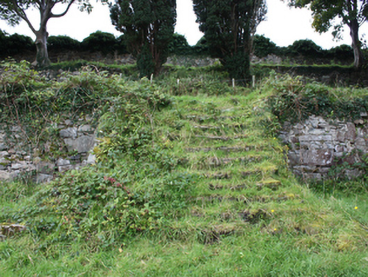
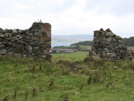
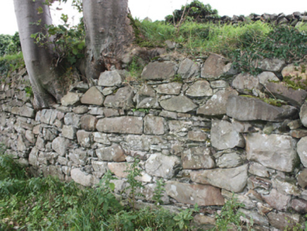
Description
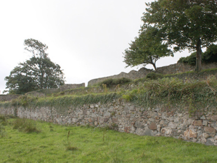
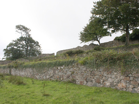
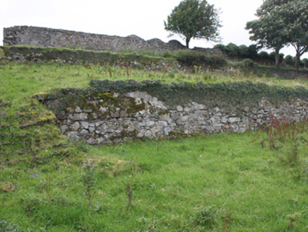
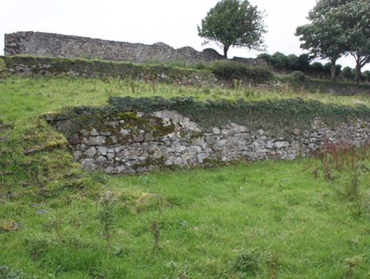
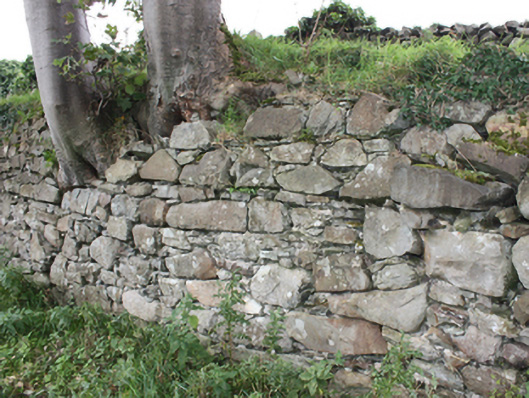
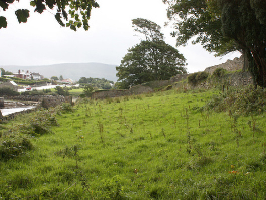
Three-tiered former terraced garden on rectangular-plan associated with Buncrana Castle (see 40815001), erected c. 1720, sloping from west to east towards the western bank of the Crana River. Comprises a series of terraces with dry stone rubble stone retaining walls, and with various sections of cut stone steps. Now out of use. Mature trees to site. Former walled garden (on irregular-plan) adjacent to the west, now out of use, having rubble stone boundary walls with brick lining to interior in places. Site enclosed by rubble stone boundary walls. Gateways to site having rubble stone gate piers (on square-plan). Built on sloping embankment to west side of River Crana at the entrance to Lough Swilly Estuary. Sited adjacent to the south-east of Buncrana Castle, and to the north-west of Buncrana town centre.
Appraisal
Although now disused, this interesting site represents a rare and important example of an early terraced formal garden that was originally associated with Buncrana Castle (see 40815001). Its exact dating is difficult but it is shown, with its planting, on the Ordnance Survey first edition six-inch map of c. 1837. It is possible that it was originally laid-out at the same time Buncrana Castle was built or rebuilt, 1716-18, on account of the formality of the plan and its formal relationship with the house. It was probably originally laid-out as a pleasure garden while the section to the west was probably a walled garden used to provide produce for use in the main house. This complex forms part of a group of structures associated with Buncrana Castle, and is a feature for some aesthetic and historical interest to the north-west of the centre of Buncrana town centre.