


Survey Data
Reg No
40307020
Rating
Regional
Categories of Special Interest
Architectural, Historical, Technical
Original Use
Bridge
In Use As
Bridge
Date
1835 - 1840
Coordinates
236105, 317098
Date Recorded
18/06/2012
Date Updated
--/--/--
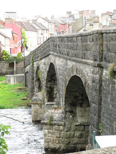
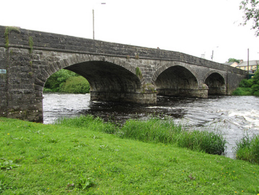
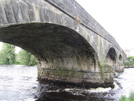
Description
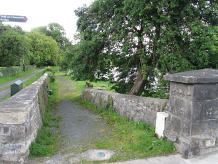
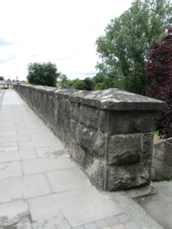
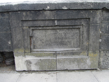
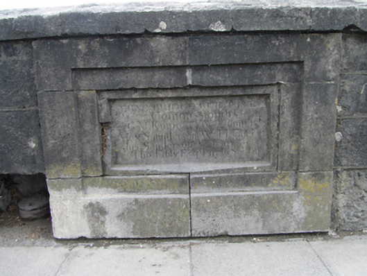
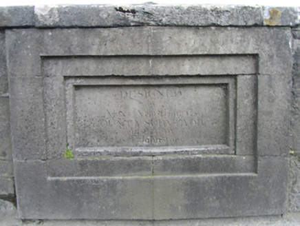
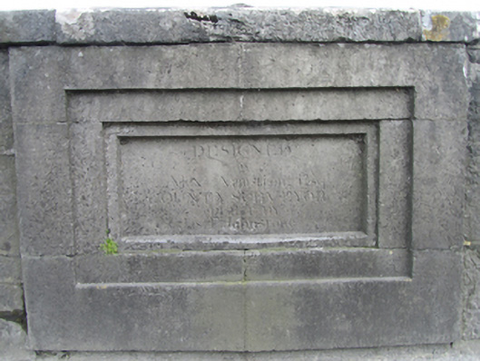
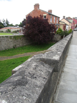
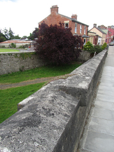
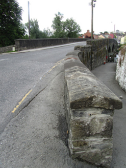
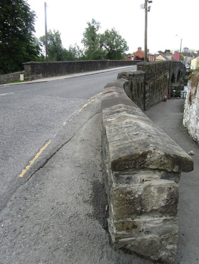
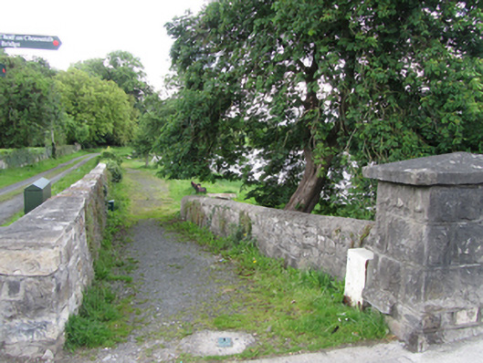
Triple-span elliptical-arched limestone bridge, built 1836, spanning River Erne, supporting a ramped deck with highest point above higher central arch. Rock-faced ashlar parapets with saddle stone coping, square-profile end piers and inscribed recessed plaques in rectangular pedestals to centre of parapets on road side. String course below parapets to riverside elevations rising to apex over central arch. Advanced battered buttresses flanking three-arched central section. Spandrels of dressed random-coursed stone, arch rings of rock-faced V-jointed stepped voussoirs rising from rock-faced abutments with impost course and pointed cutwaters with rounded caps to upstream and downstream sides. Arch soffit of coursed cut stone. Wing walls extend to connect with street embankments.
Appraisal
A well composed and sharply detailed bridge, designed by Alexander Armstrong, County Surveyor, and built by James F. Johnstone. The bridge continues Lower Bridge Street in Belturbet to the west. It straddles a wide stretch of the Erne River, and forms an important landmark on the west side of the town which can be seen from a distance from the north and south. The bridge is a key part of the civil engineering heritage of Belturbet, its precise design and detail demonstrating the technical skill employed in infrastructural works in Ireland in this period.