


Survey Data
Reg No
20909803
Rating
Regional
Categories of Special Interest
Archaeological, Architectural, Artistic, Social
Original Use
Church/chapel
In Use As
Graveyard/cemetery
Date
1875 - 1880
Coordinates
163281, 61797
Date Recorded
16/03/2009
Date Updated
--/--/--
Description
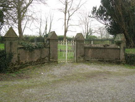
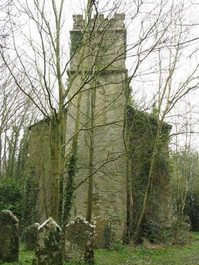
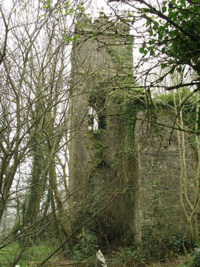
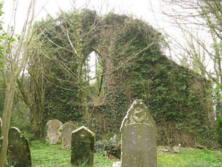
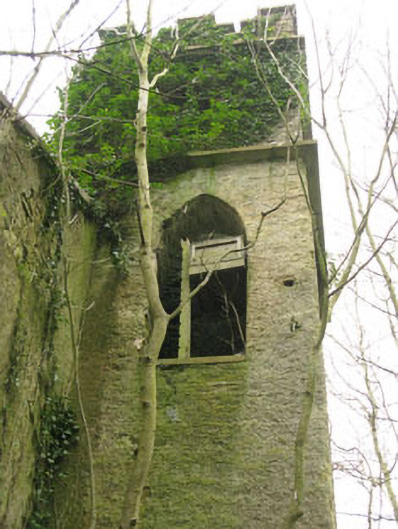
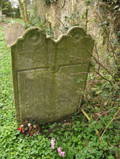
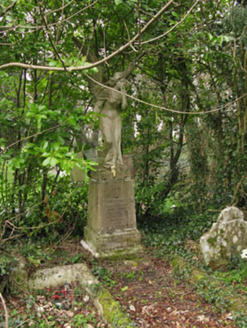
Freestanding double-height Church of Ireland church, rebuilt 1876, containing fabric of earlier structure, built c.1700, comprising three-bay nave with three-stage bell tower to front (west) and vestry to side (north). Now ruinous. Pitched gables to nave, roof gone, with remains of tooled stone copings to gables. Crenellated parapet wall with tooled stone capping to bell tower. Lean-to roof to vestry. Rendered rubble stone walls. Tooled limestone string courses to second and third stages of bell tower having blind quatrefoil recesses to side (north, east and south) elevations of third stage. Pointed arch window openings having tooled limestone sills and rendered reveals to side (south) and rear (east) elevations. Pointed arch openings to side (north, south and west) elevations of first-stage of bell tower, formerly accommodating timber louvers. Square-headed ventilation openings to side (south, north) and rear (east) elevations. Pointed arch door opening having raised render surround, tooled limestone plinth blocks and rendered stepped approach with rendered parapet walls, now blocked with rubble stone. Square-headed door opening to side (west) elevation of vestry with rendered reveal and stone block stepped approach, now blocked. Set in graveyard. Rubble stone walls to north, south and east and rendered rubble stone walls with square-profile piers, tooled limestone capping with cast-iron gates to west. Ruin of gatehouse to south side of entrance. Later graveyard to south-west enclosed within rendered walls with plinth, square-profile piers with render string course, moulded cornice and triangular capping with inscribed date of AD 1900.
Appraisal
This church is set in prominent position overlooking the village of Ballinhassig. It occupies the site of an earlier building which was probably associated with the deserted medieval town Ballinaboy, and was described by Lewis in his Topographical Directory of 1837 as 'a small, dilapidated building'. Rebuilt in the latter part of the nineteenth century, its has lost much of its historic fabric and features, though its original form remains apparent. The fine collection of grave markers add artistic interest to the site, and contribute much to its setting and context.