

Survey Data
Reg No
20906106
Rating
Regional
Categories of Special Interest
Architectural, Technical
Original Use
Bridge
In Use As
Bridge
Date
1780 - 1820
Coordinates
147379, 76327
Date Recorded
08/04/2009
Date Updated
--/--/--
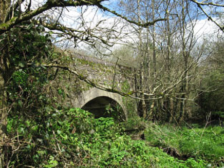
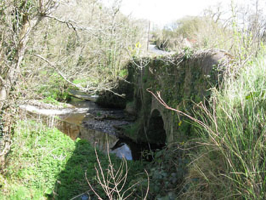
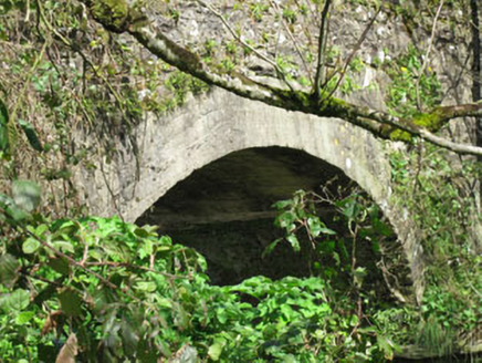
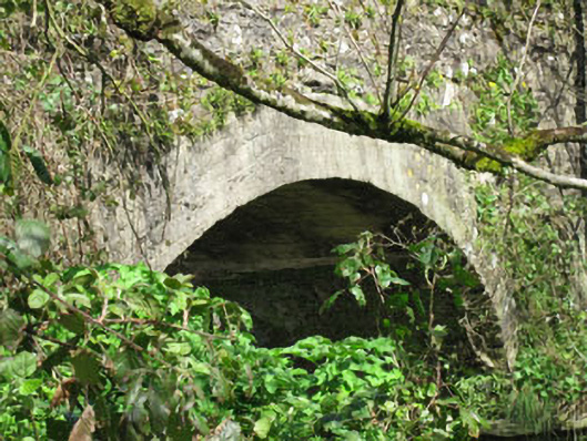
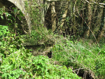
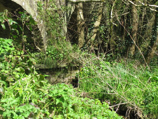
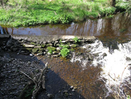
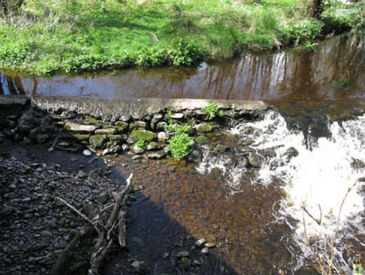
Description
Double-arch road bridge, built c.1800, spanning Dripsey River. Single-span feeder arch located to the west. Rubble stone walls with segmental-headed arches having replacement concrete arch. Rubble stone V-cutwaters to north and south elevations. Rubble stone parapet walls with concrete capping. Weir to upstream elevation.
Appraisal
Though simple in design this bridge serves as a reminder of the engineering achievements of the early nineteenth century. The weir and additional arch were most likely built to accommodate a mill race which fed Clonmoyle mill located to the south.