


Survey Data
Reg No
20844107
Rating
Regional
Categories of Special Interest
Architectural, Scientific, Technical
Original Use
Bridge
In Use As
Bridge
Date
1855 - 1860
Coordinates
149243, 54916
Date Recorded
07/05/2009
Date Updated
--/--/--
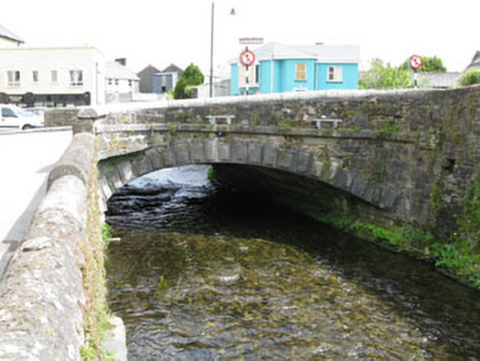
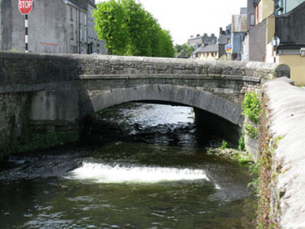
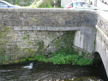
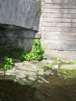
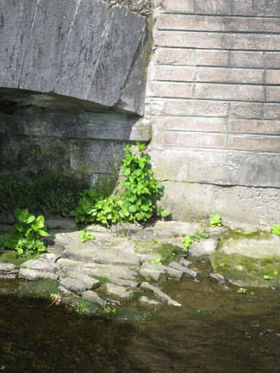
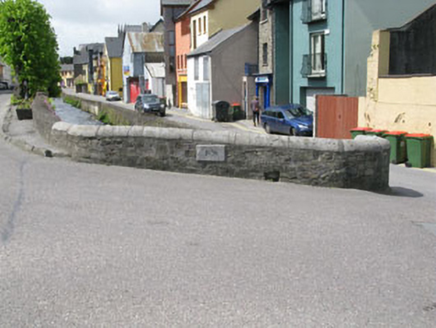
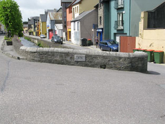
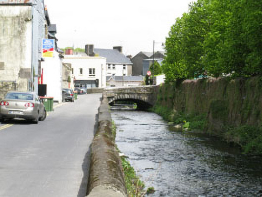
Description
Single-arch road bridge, dated 1858, spanning the Bride Well River. Camber-headed arch having tooled limestone voussoirs to east elevation, rusticated voussoirs to west elevation. Tooled limestone piers with string course to imposts. Roughly dressed stone block spandrels and parapet walls having tooled limestone string course, flanked by splayed abutments with recent render and concrete block repairs. Rounded tooled limestone coping and carved stone date plaque to side (east) elevation of western parapet wall. Half camber-headed relieving arch to east end of southern abutment.
Appraisal
This bridge demonstrates the fine skill and craftsmanship of mid nineteenth century engineers. The finely crafted tooled stone voussoirs, string courses and parapet copings are the work of skilled masons, and provide textural contrast to the rubble stone construction.